Devpost
Participate in our public hackathons
Devpost for Teams
Access your company's private hackathons
Grow your developer ecosystem and promote your platform
Drive innovation, collaboration, and retention within your organization
By use case
Blog
Insights into hackathon planning and participation
Customer stories
Inspiration from peers and other industry leaders
Planning guides
Best practices for planning online and in-person hackathons
Webinars & events
Upcoming events and on-demand recordings
Help desk
Common questions and support documentation
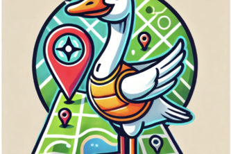
If you can dream it, Rex will find it!
Feeling lost at HTN? Spice things up with our AI-gen. scavenger hunts! Compete with friends, explore hidden spots, and make your adventure unforgettable. Join the fun - discover HTN like never before!
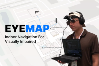
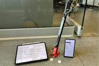
Empowering Vision Through Voice. Revolutionizing indoor mobility with real-time, adaptive AI-enabled guidance for seamless navigation in complex spaces.
Are you cooked or are you cooking? Scout the competition and gain insight into how the entire group of attendees is working.
A social app for uncovering university locations and competing with friends.
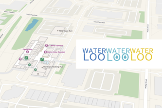
After you "water, water, water" it's time to go to the "loo, loo, loo!" After you go to a water fountain, a text message will be sent to your phone detailing you the nearest washroom location.
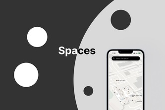
Spaces combines spacial data with machine learning to bring people together
When you're at Hack the North... but still want pizza.
Need a clean washroom fast? What’s Your Loo? helps you find the best public restrooms nearby based on location, cleanliness, and user reviews, ensuring a top-tier experience every time.
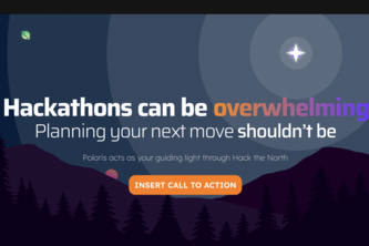
Polaris is a proof of concept that showcases how Mappedin API could lower the barrier of entry for event hosters.
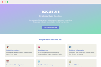
Breaking barriers, building diverse networks - one event at a time.
Sending SMS messages to complete simultaneous localization and efficient grocery shopping for maximum convenience.
Fallen victim to the concrete jungle of Dana Porter? Here's an interactive 3D map for the navigationally challenged to help find your friends and favorite study spots around the building!
Making spontaneous hangouts even easier.
Refreshing the Air, Elevating the Experience
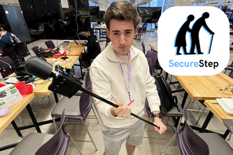
Helping you walk with confidence.
An interactive indoor map of the University of Waterloo that uses live information to find free classrooms for studying any time during the day! Built for easy access and navigation for students.
Evacuation. Simplified.
Help people with visual impairment navigate through the interiors of buildings.
Navify transforms indoor navigation for the visually impaired with NFC technology, Mappedin, and Voiceflow, turning a traditional cane into a smart, voice-guided navigation tool.
1 – 20 of 20